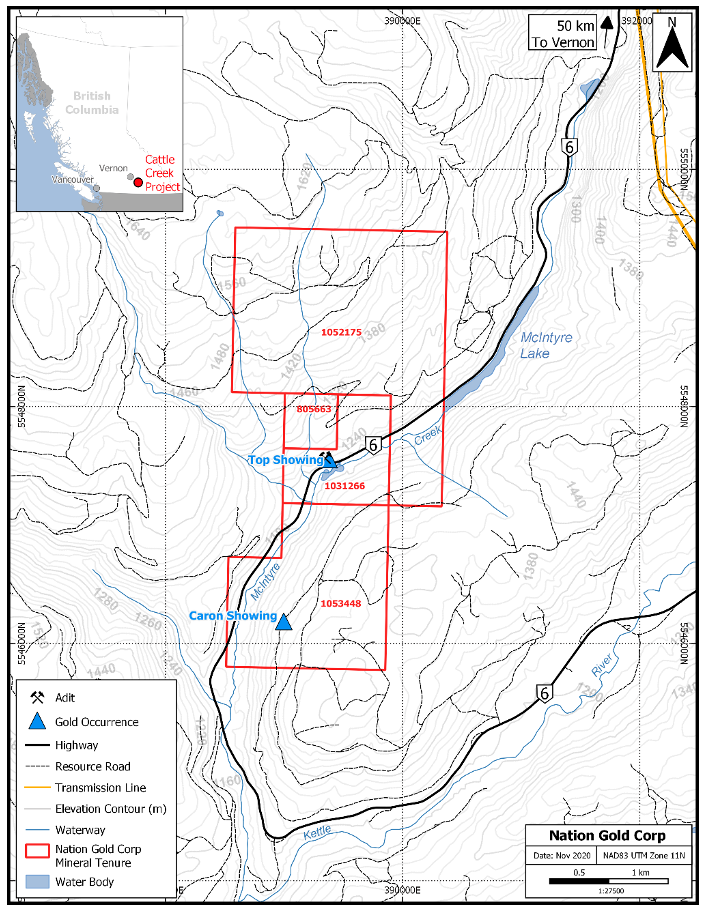
Four season road access via Hwy 6 ~50-55km east of Vernon. Many portions of the claims are readily accessible with 4×4 vehicles on the numerous logging roads in various states of current repair and reclamation. Direct road access to the Top workings area is currently trenched off at the highway
Claims cover a portion of the central Monashee Mountain range west of the Columbia River and south of Revelstoke
Terrain is generally moderate to locally steep. The lowest point is the Macintyre Creek valley at 1,175 metres at the SW corner of the claim block. The highest point is at about 1,460 metres at the NW corner of the current claim block
The north to northeast trending steep walled Macintyre Creek valley runs through the south east to east central portions of the claims
Property area has sufficient timber, access to sufficient water and have topographically suitable areas to conduct mining operations including potential tailings storage, potential waste disposal, heap leach and processing sites
Vernon and the Okanagan Valley host most facilities to facilitate mineral exploration, development and mining. The Okanagan area has a diverse labour force including mining personnel, and small quarrying, mining and aggregate operations